

Scablands terrain in eastern Washington
A sound sense of place
If you’re brand new to the places described in Dirt - An Audio Drama, these images are simply meant to help ground you in the lush landscape of both halves of Washington—the western half, and the eastern half.
Photographs © STUDIO5705

The Palouse in springtime south of Spokane

Dry Falls west of Wilson Creek

Rows of hops near Wapato

Wilson Creek

Mt. Rainier (Tahoma)

Wheat field in eastern Washington

Wheat field in the Palouse

Husky Stadium

Farm field south of Wilson Creek

Highway 97 toward Toppenish

Maryhill and the Columbia River

Wapato

I-84 approaching Yakima

Cascade Mountains

Wapato

Eastern Washington

Central Washington near Dry Falls

Coulee in eastern Washington

Near Yakima

Belltown neighborhood in Seattle

Belltown neighborhood in Seattle

Wishkah River in Aberdeen

Hoquiam River in Aberdeen
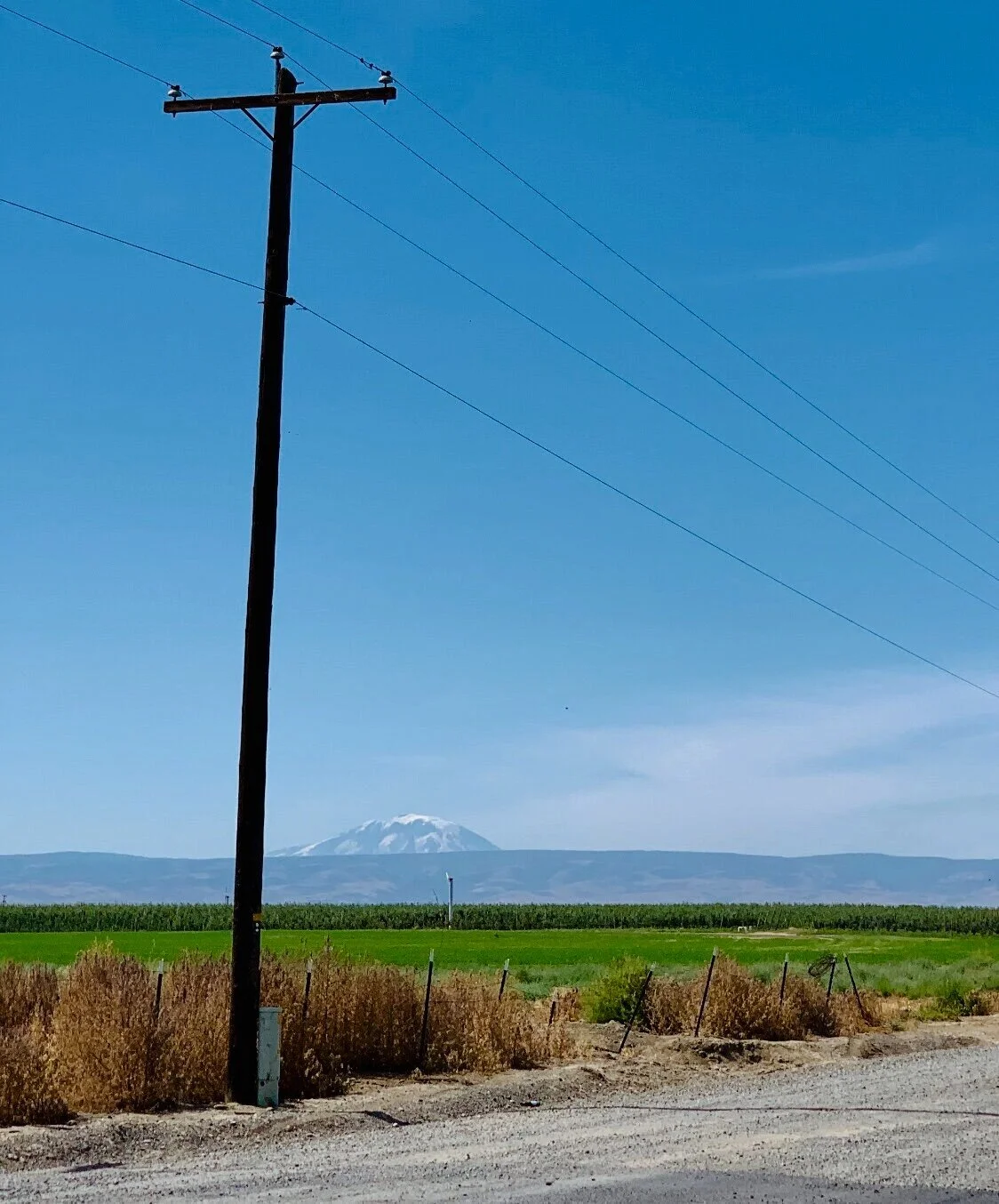
Mt. Adams (Pahto) from the Yakima Valley looking toward Yakama Indian Reservation

Wheat field in eastern Washington

Palouse in eastern Washington

Downtown Seattle from Elliott Bay